
TBD 63rd Street, Hillman, MN 56338
New Listing
$475,000
Property Type:
Land
Lot Size (sq. ft.):
3,920,400
Status:
Active
Current Price:
$475,000
List Date:
8/13/2026
Last Modified:
8/13/2026
Overview
Description
Listing Details MLS# 7126500
General Property Information
- Comp Sale YN
- No
- Development
- No
- Lot Measurement
- Acres
- Multiple PIDs?
- No
- Plat Recorded
- No
- Waterfront YN
- No
- Yearly/Seasonal
- Yearly
- Zoning
- Agriculture
- Lot Dimensions
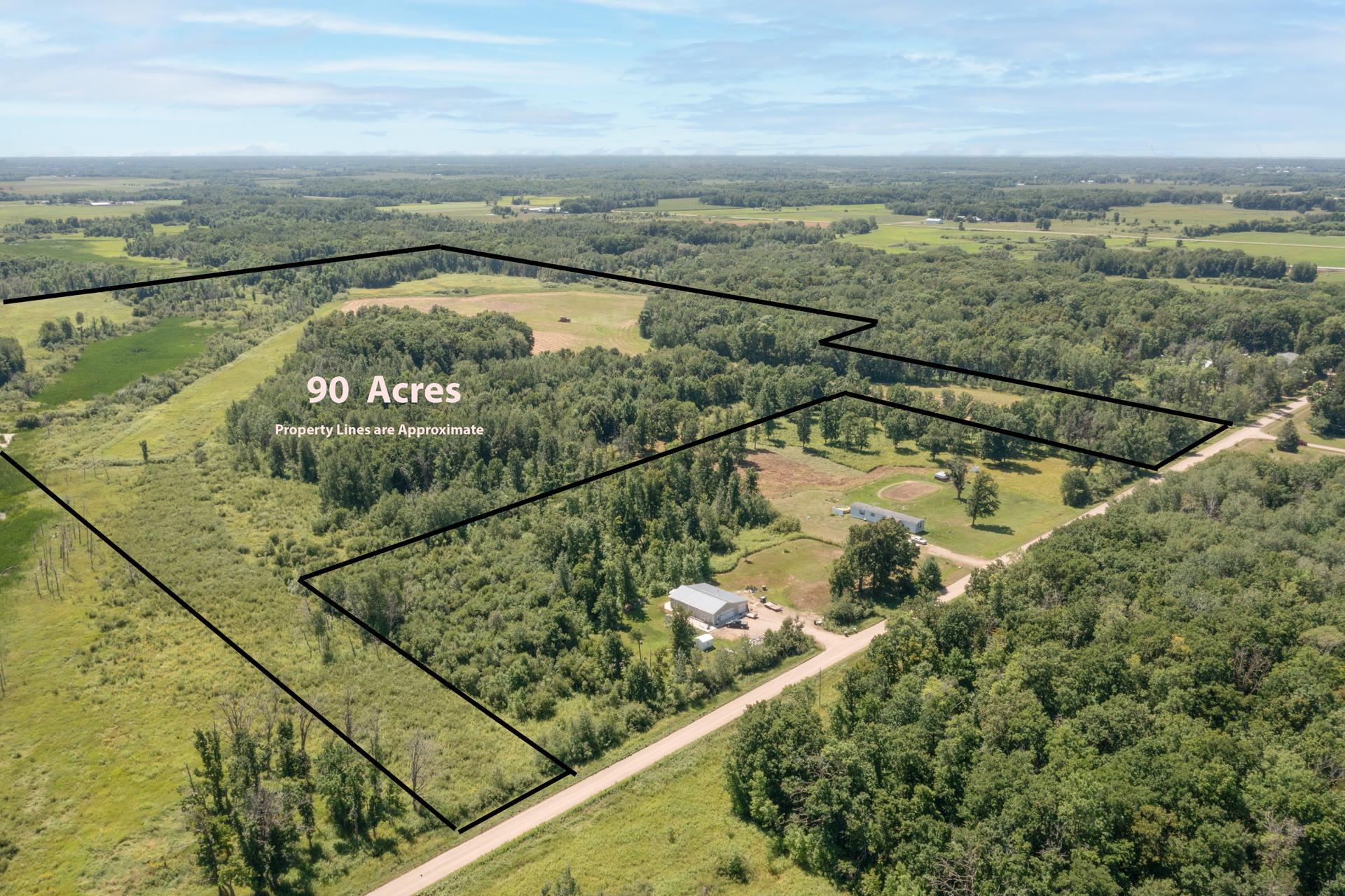
- 316 x 495 x 845 x 501 132 x 2604x 1884 x 1735 x 522 x 935
- Acres
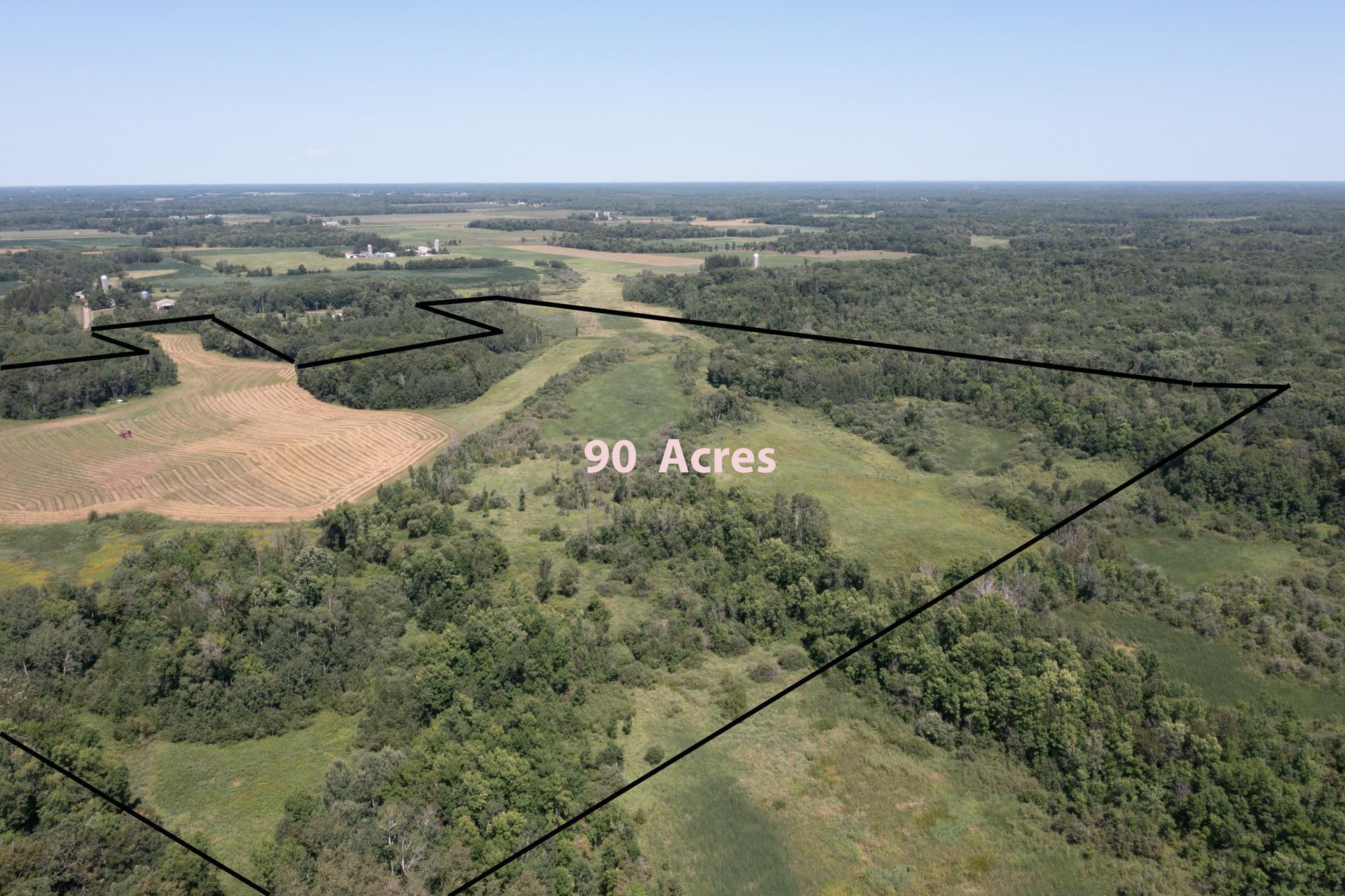
- 90
- Assessment Pending
- No
- Association Fee
- 0
Property Features
Available Utilities:
None Connected
Development Status:
Raw Land
Improvements:
None
Land Inclusions:
None
Lot Description:
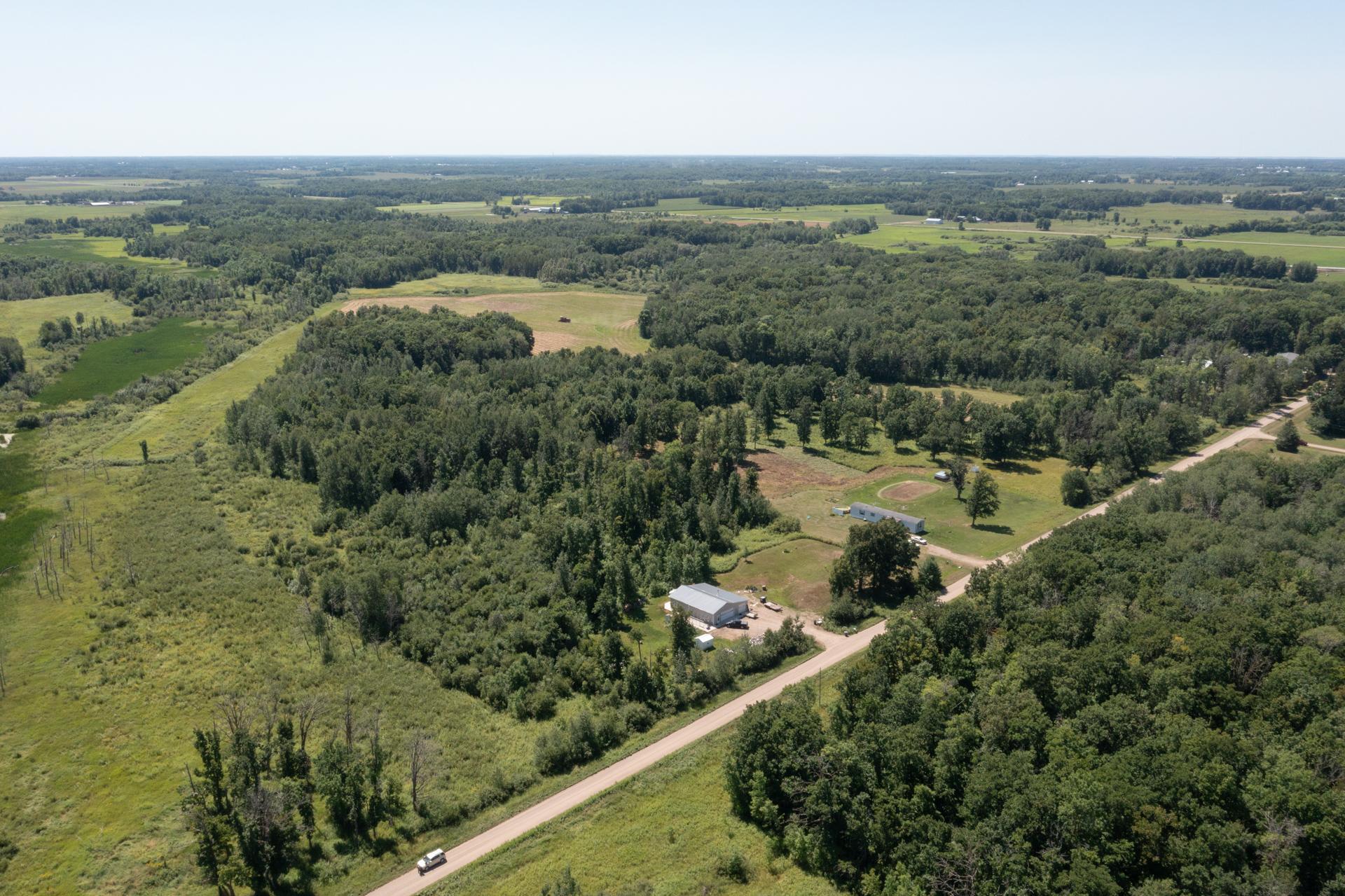
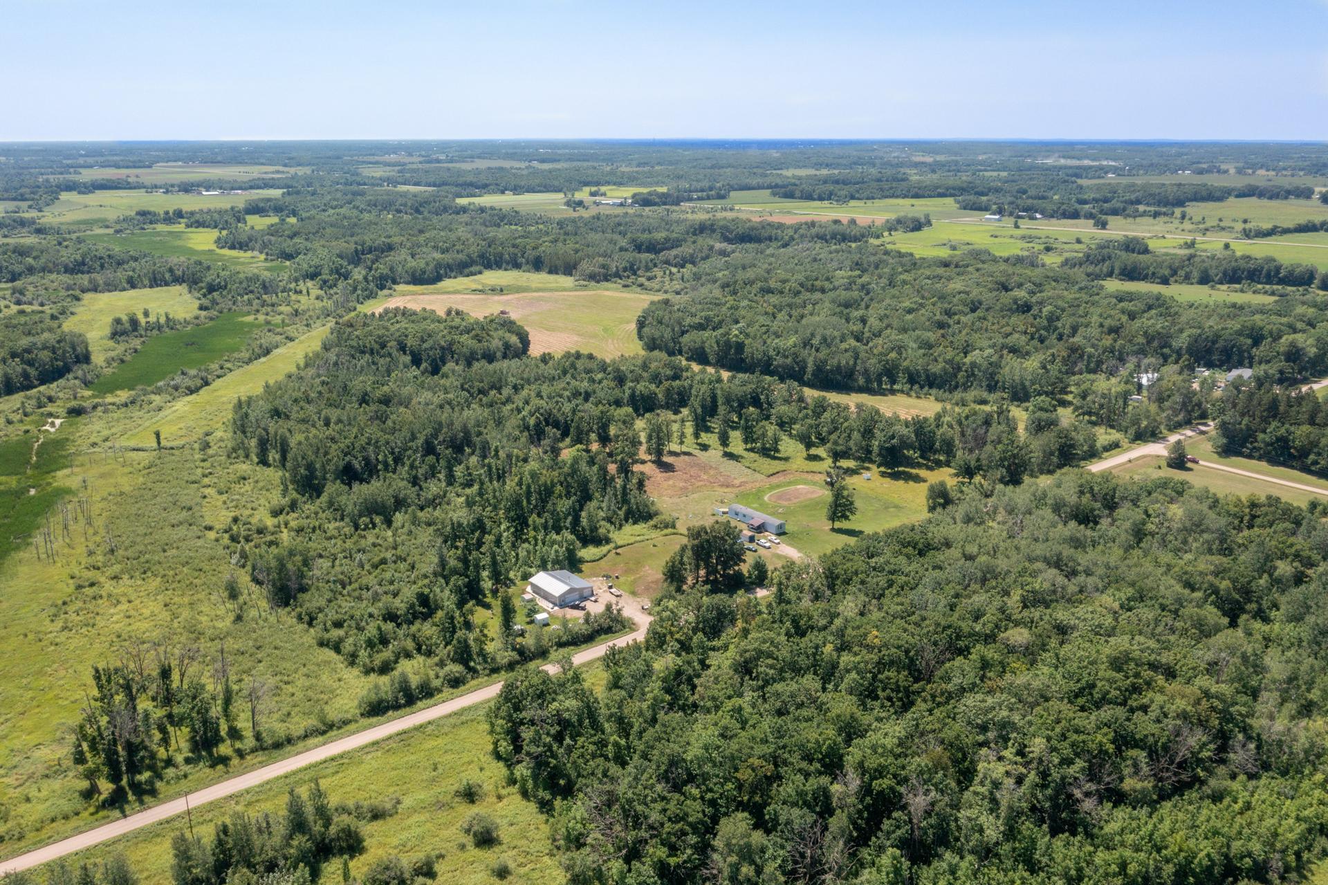
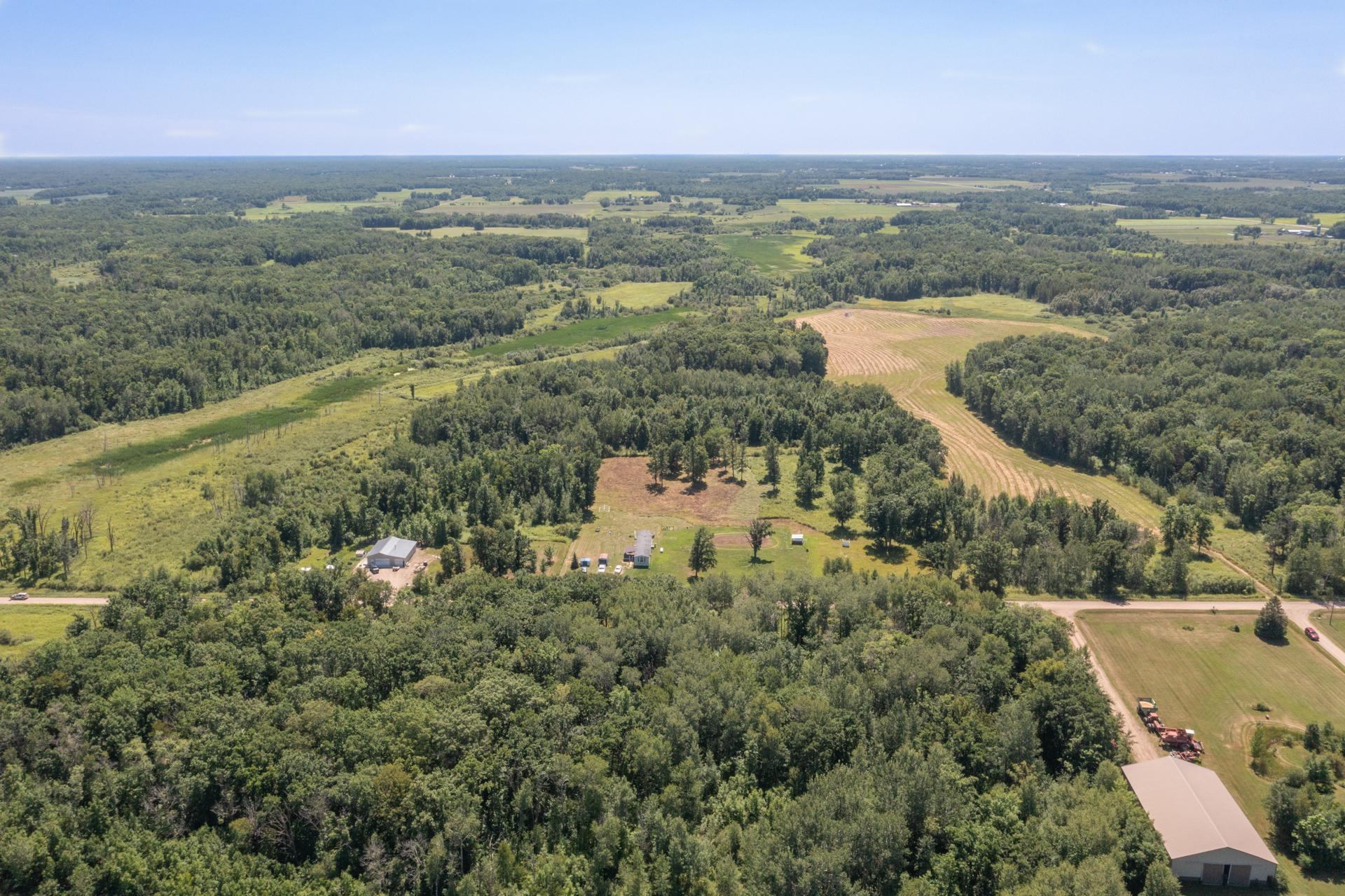
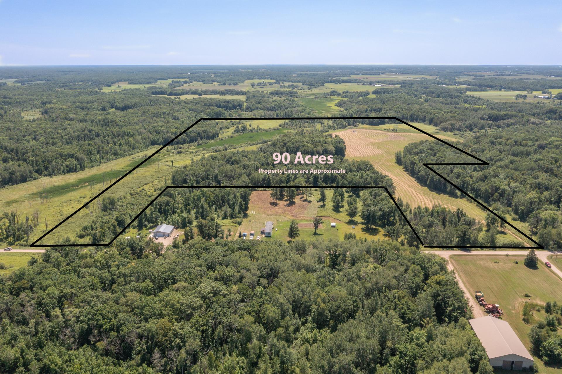
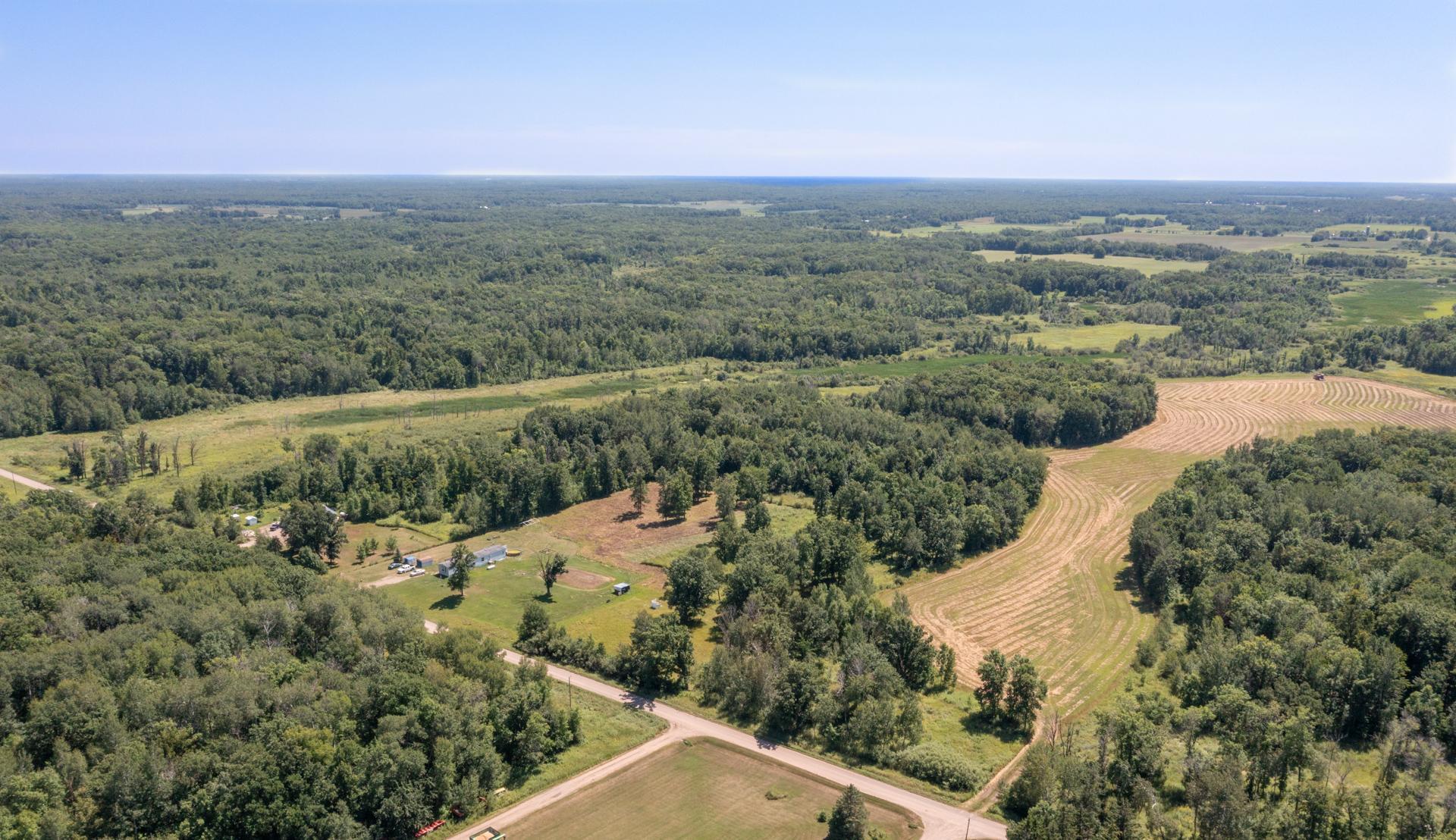
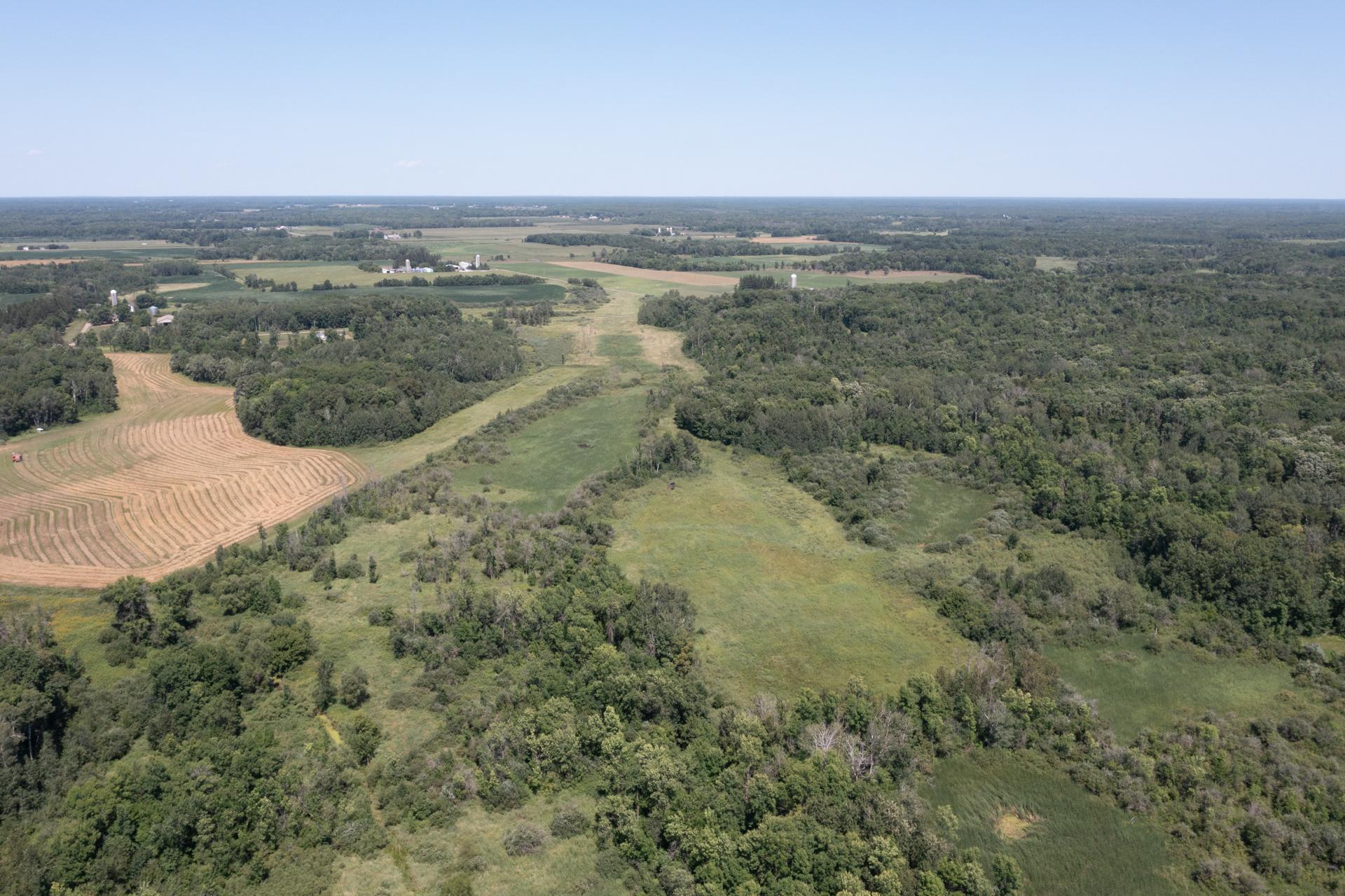
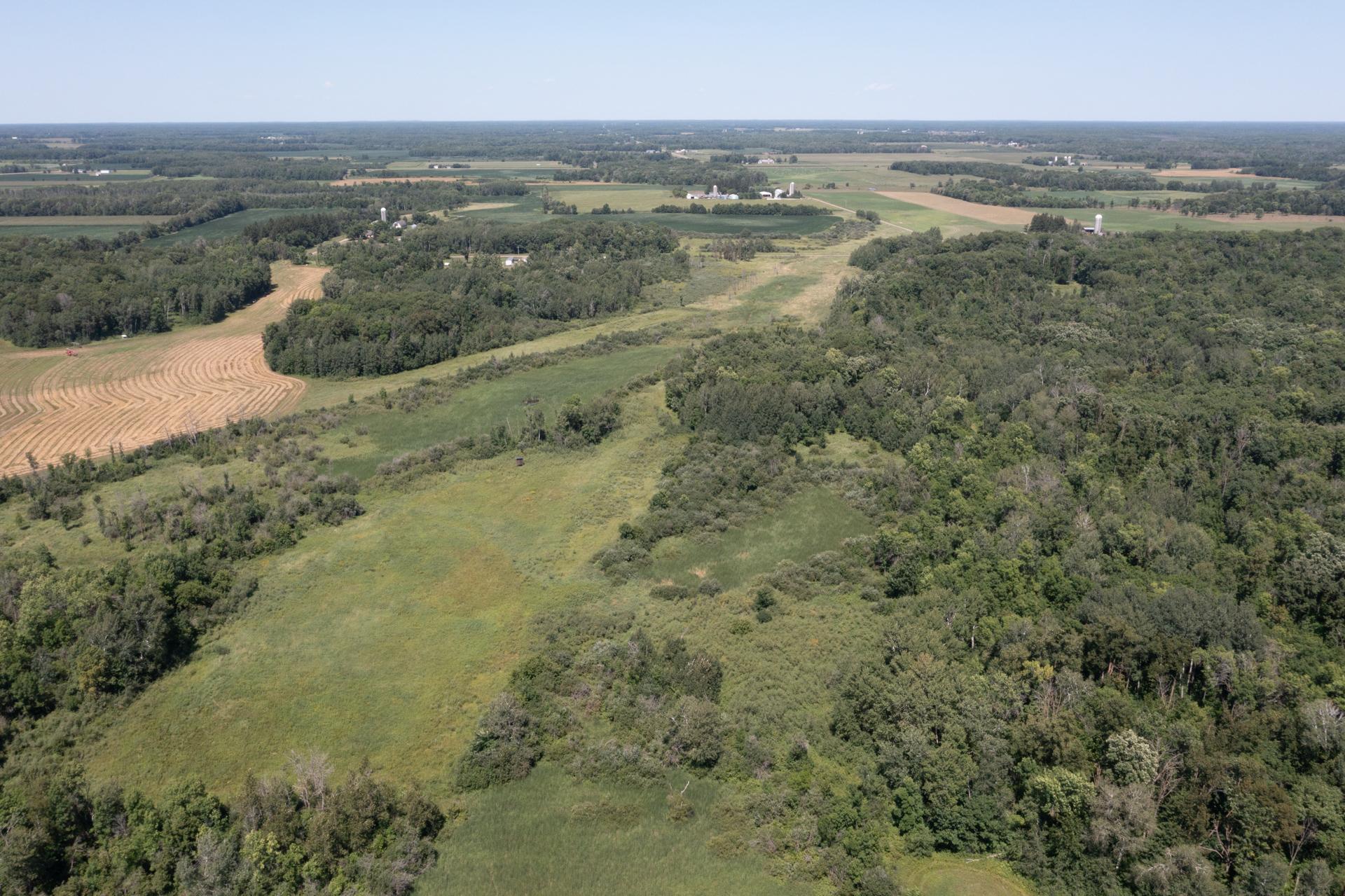
Irregular Lot; Tillable; Tree Coverage - Medium
Property SubType:
Agricultural Land
Road Frontage:
County Road; Unimproved
Road Responsibility:
Public Maintained Road
Sellers Terms:
Cash; Conventional; FHA; VA
Topography:
Wooded; High Ground; Low Land
Contract Information
- Contingency
- None
- Original List Price
- 475000
- ListPrice
- 475000
- Owner is an Agent?
- No
- Auction?
- No
Location Tax and Other Information
- House Number
- TBD
- Street Name
- 63rd
- Street Suffix
- Street
- Postal City
- Hillman
- County
- Morrison
- State
- MN
- Zip Code
- 56338
Builder Information
- Builder Restrictions
- Open
Lease Details
- Land Leased
- Not Applicable
More Information
Miscellaneous Information
- Homestead
- No
Ownership
- Fractional Ownership
- No
Public Survey Info
- Section#
- 29
- Township#
- 39
Office/Member Info
- Association
- GLAR
Location, Tax and Other Information
- AssocFeeYN
- No
- Legal Description
- The Northeast Quarter, Section 29, Township 39, Range 28, Morrison County, Minnesota, EXCEPT the following described parcels: 1) The North 16 rods of the West 20 rods of the Northeast Quarter (NE1/4) of Section 29, Township 39, Range 28, Morrison County, Minnesota. 2) That part of the Northeast Quarter (NE1/4) of Section 29, Township 39, Range 28, described as follows: Commencing at the Northwest corner of said NE1/4; thence East, assumed bearing, 901.37 feet along the North line of said NE1/4 to the point of beginning; thence continuing East 419.00 feet along said North line of the NE1/4; thence South 520.00 feet; thence West 419.00 feet; thence North 520.00 feet to the point of beginning. 3) That part of the Northeast Quarter (NE1/4) of Section Twenty-nine (29), Township Thirty-nine (39), Range Twenty-eight (28), Morrison County, Minnesota described as follows: Commencing at the Northwest corner of said NE1/4; thence East, assumed bearing, 1320.37 feet along the North line of said NE1/4 to the point of beginning; thence South 520.00 feet, thence East 419.00 feet; thence North 520.00 feet to said North line of the Northeast Quarter; thence West 419.00 feet along said North line of the NE1/4 to the point of beginning. 4) That part of the Northeast Quarter, Section 29, Township 39, Range 28, Morrison County, Minnesota, described as follows: Beginning at the northwest corner of said Northeast Quarter (NE1/4); thence South 89 degrees 25 minutes 38 seconds East, assumed bearing, 605.00 feet along the north line of said Northeast Quarter (NE1/4); thence South 00 degrees 14 minutes 50 seconds west 916.50 feet; thence North 89 degrees 25 minutes 38 seconds West, parallel with said north line of the Northeast Quarter (NE1/4), 536.43 feet to the west line of said Northeast Quarter (NE1/4); thence North 04 degrees 01 minutes 47 seconds West 919.45 feet along said west line of the Northeast Quarter (NE1/4) to the point of beginning. 5) The East 780.30 feet of the Northeast Quarter, Section 29, Township 39, Range 28, Morrison County, Minnesota. Subject to 63rd Street on the north.
- Listing City
- Hillman
- Map Page
- 999
- Municipality
- Lakin Twp
- School District
- Milaca
- School District Phone
- 320-982-7210
- Zip Plus 4
- 2387
- Property ID Number
- 140281004
- Tax Year
- 2026
- Tax Amount
- 0
- In Foreclosure?
- No
- Potential Short Sale?
- No
- Lender Owned?
- No
Directions & Remarks
- Public Remarks
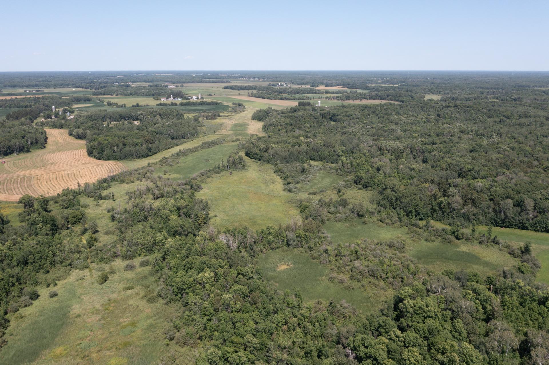
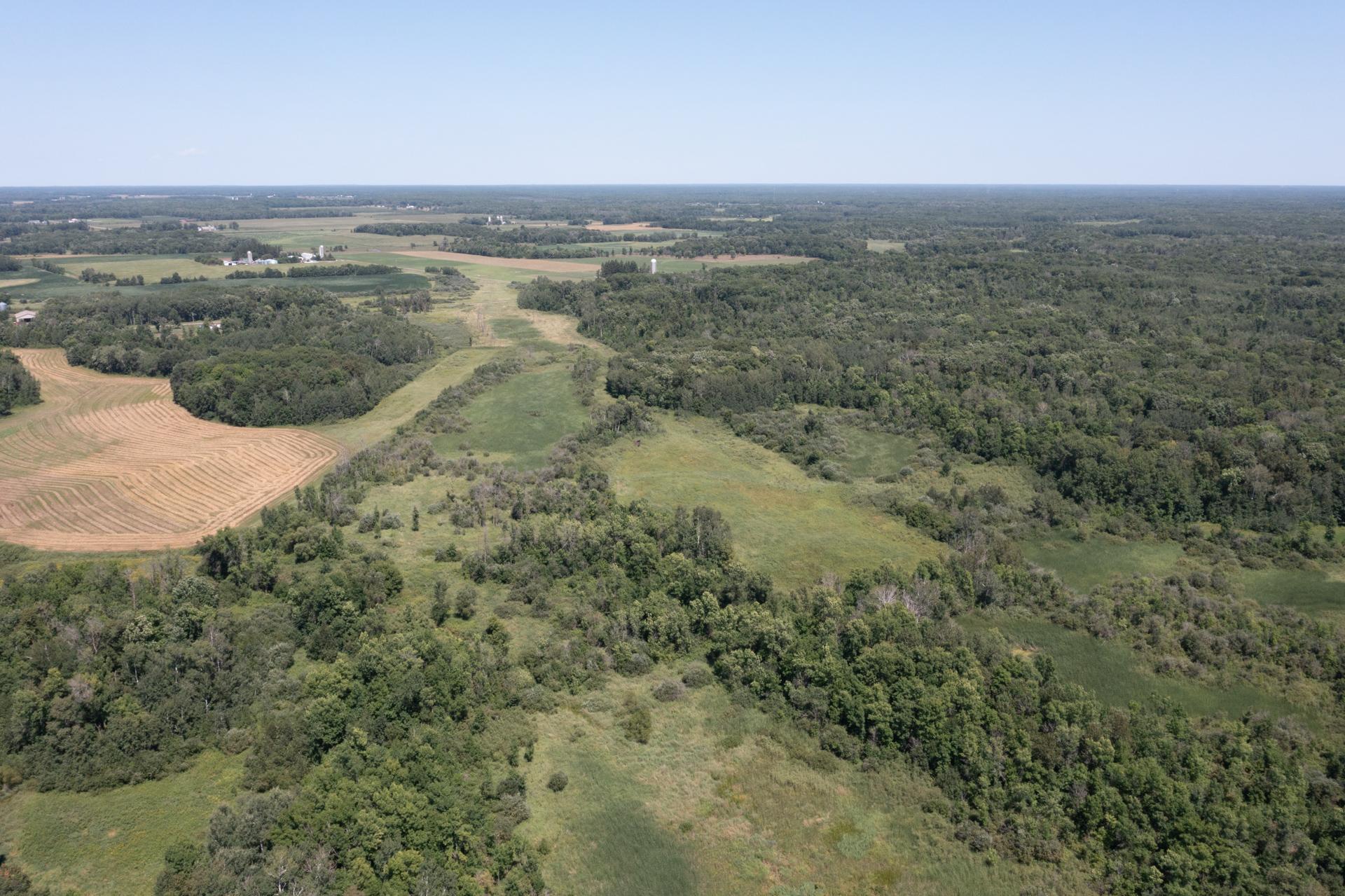
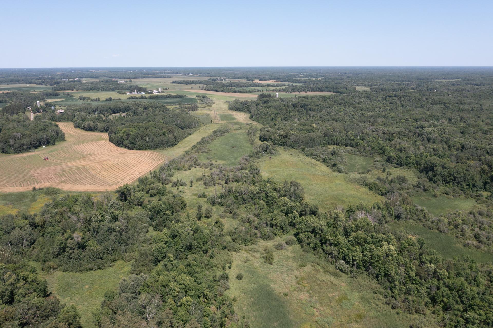
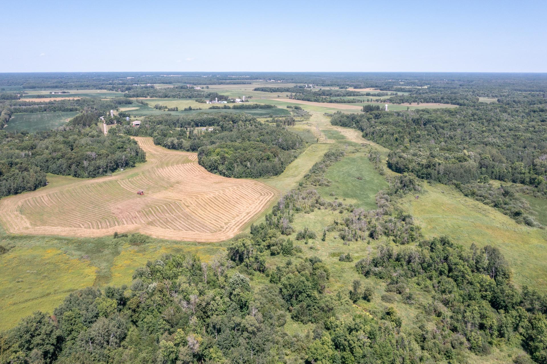
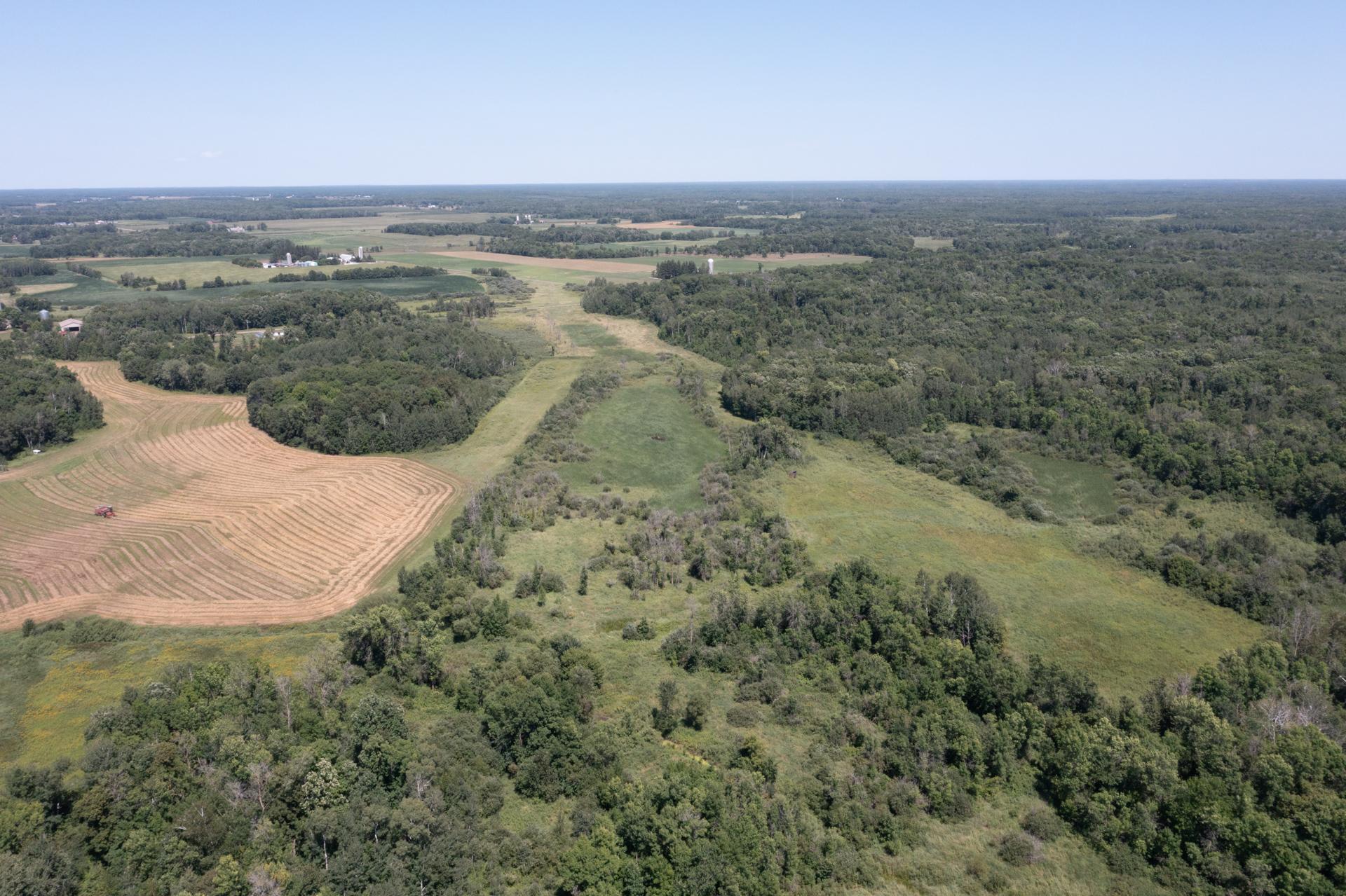
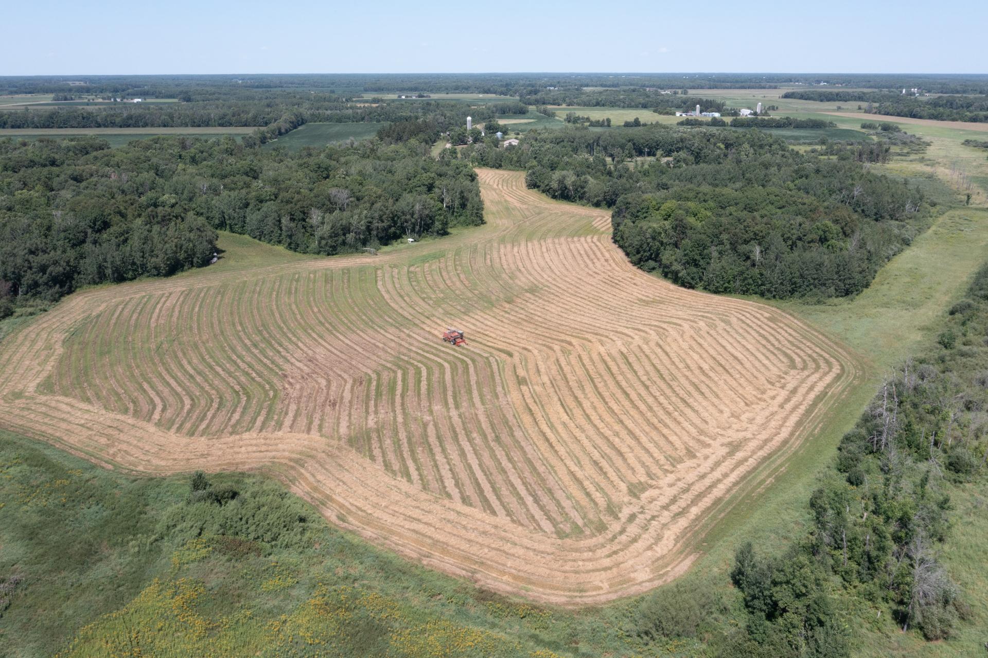
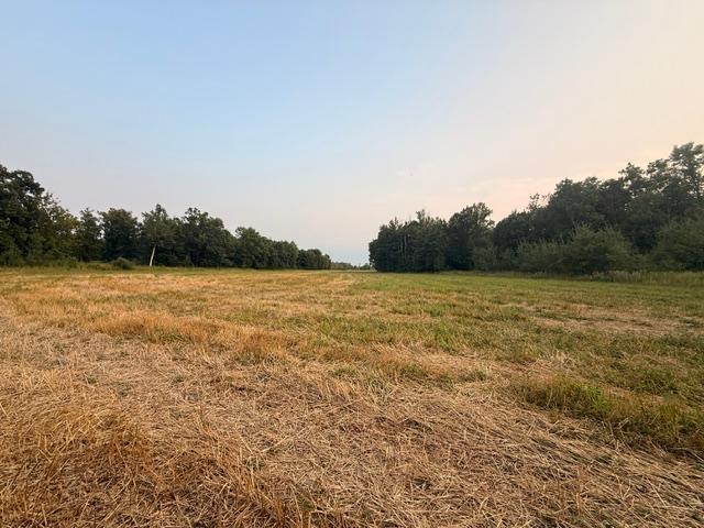
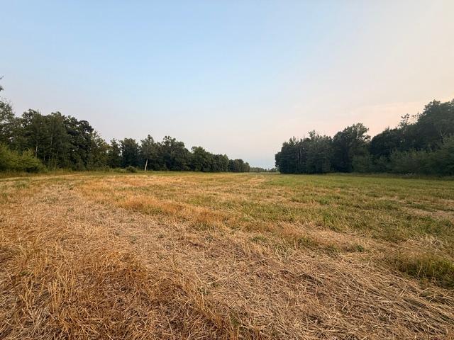
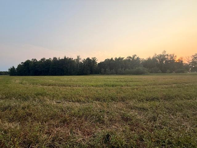
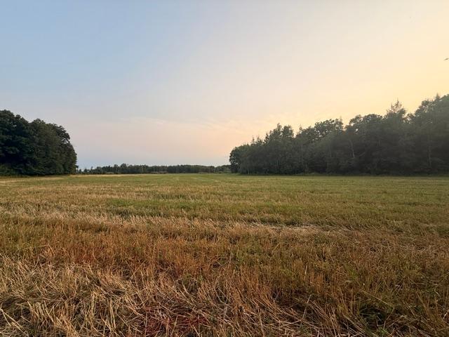
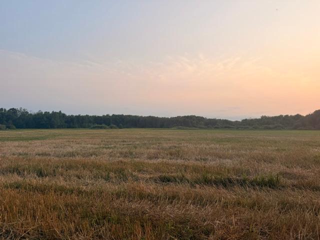
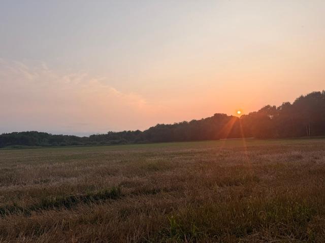
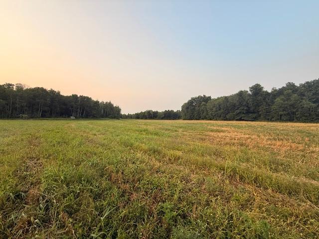
- Rare 90-acre multi-use parcel featuring a great mix of tillable ground, mature woods, and prime hunting land. Currently split, this property offers building sites ideal for your dream home, cabin, or pole barn. Enjoy abundant wildlife, privacy, and outdoor recreation, along with the added benefit of having potential crop lease income. A versatile piece of land with endless possibilities—schedule your showing today!
- Directions
- on US10 E heading to St. Cloud, turn left onto 93rd Street then right onto Sage Road to sign on the right.
Assessments
- Assessment Balance
- 0
- Assessment Installment
- 0
- Tax With Assessments
- 0
Development Status
- Raw Land
- Yes
Insurance Fee
- Insurance Fee
- 0
Lot Description
- Irregular Lot
- Yes
- Tillable
- Yes
- Tree Coverage - Medium
- Yes
Restriction/Covenants
- None
- Yes
Road Frontage
- County Road
- Yes
- Unimproved
- Yes
Road Responsibility
- Public Maintained Road
- Yes
Sellers Terms
- Cash
- Yes
- Conventional
- Yes
- FHA
- Yes
- VA
- Yes
Topography
- Wooded
- Yes
- High Ground
- Yes
- Low Land
- Yes
Available Utilities
- None Connected
- Yes
Improvements
- None
- Yes
Land Inclusions
- None
- Yes
Property SubType
- Agricultural Land
- Yes

Listing Office:
Exit Realty Hometown Advantage
Last Updated: August - 13 - 2026
The data relating to real estate for sale on this web site comes in part from the Broker
Reciprocity SM Program of the Regional Multiple Listing Service of Minnesota, Inc. The information provided is deemed reliable but not guaranteed. Properties subject to prior sale, change or withdrawal.
©2024 Regional Multiple Listing Service of Minnesota, Inc All rights reserved.